Live briefing

Everything about Web mapping
Types of interactive mapping services
Web mapping or online mapping is the process of using, creating, and distributing maps on the World Wide Web, usually through the use of Web geographic information systems. A web map or an online map is both served and consumed, thus, web mapping is more than just web cartography; it is an interactive service where consumers may choose what the map will show. Wikipedia →
🧭 Start here: a 6-step reading path
- Read the overview: Web mappingA 5-minute orientation
- Skim a recent paper: g:Profiler—interoperable web service for functional enrichment analysis and gene identifier mapping (2023 update)Influential work since 2022
- Pick up a classic book: Web Mapping IllustratedThe most-reprinted book on the subject
- Read the landmark paper: Heatmapper: web-enabled heat mapping for allCited 2,243 times
- Go sideways: Geographic information system softwareA closely related topic
- Go sideways: Open Source Geospatial FoundationA closely related topic
📖 Definitions
No dictionary entry for this exact phrase.
🏆 Landmark papers (most cited)
Heatmapper: web-enabled heat mapping for all
Web Mapping 2.0: The Neogeography of the GeoWeb
Usability Evaluation of Web Mapping Sites
Review of Web Mapping: Eras, Trends and Directions
A systematic mapping study of web application testing
Mapping world-class universities on the web
Quality models for web services: A systematic mapping
Mapping the “Worlds” of the World Wide Web
🆕 Influential since 2022
g:Profiler—interoperable web service for functional enrichment analysis and gene identifier mapping (2023 update)
Combining Machine Learning and Semantic Web: A Systematic Mapping Study
Security testing of web applications: A systematic mapping of the literature
Heatmapper2: web-enabled heat mapping made easy
Artificial intelligence in web accessibility: A systematic mapping study
📚 Books worth reading
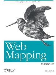 Web Mapping IllustratedTyler Mitchell · 2005
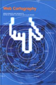 Web cartographyAllan Brown, Jan-Menno Kraak · 2000
- 📕3D engine design for virtual globesPatrick Cozzi · 2011
 Mapping with DrupalAlan Palazzolo · 2011
 Leaflet.js EssentialsPaul Crickard III · 2014
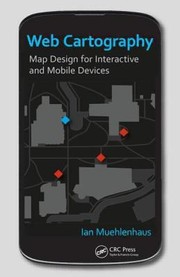 Web CartographyIan Muehlenhaus · 2013
 Explorer's guide to the Semantic WebThomas B. Passin · 2004
- 📕Mastering GeoServerColin Henderson · 2014
Ranked by number of editions on Open Library, a rough measure of how lasting a book is.
🔗 Related topics
- Geographic information system software A GIS software program is a computer program to support the use of a geographic information system, providing the ability to create, store, manage, query…
- Open Source Geospatial Foundation The Open Source Geospatial Foundation (OSGeo), is a non-profit non-governmental organization whose mission is to support and promote the collaborative…
- Vector tiles Vector tiles, tiled vectors or vectiles are packets of geographic data, packaged into pre-defined roughly-square shaped "tiles" for transfer over the web…
- Web GIS Web GIS, also known as Web-based GIS, are Geographic Information Systems (GIS) that employ the World Wide Web (the Web) to facilitate the storage, visualization…
- GIS in geospatial intelligence Geographic information systems (GIS) play a constantly evolving role in geospatial intelligence (GEOINT) and United States national security. These technologies…
- Web Map Service A Web Map Service (WMS) is a standard protocol developed by the Open Geospatial Consortium in 1999 for serving georeferenced map images over the Internet…
- Internet GIS Internet GIS is broad set of technologies and applications that employ the Internet to access, analyze, visualize, and distribute spatial data via geographic…
- Distributed GIS Distributed GIS refers to GI Systems that do not have all of the system components in the same physical location. This could be the processing, the database…